Islands and islets
Explore Hong Kong’s islands, their coastlines and ferry connections.
156 named islands · 4 island groups
This catalogue follows the cited official island-name records. Groups, small islets and former islands do not necessarily match headline island counts.
All categories
Search place names in English or Chinese, or categories in your language.
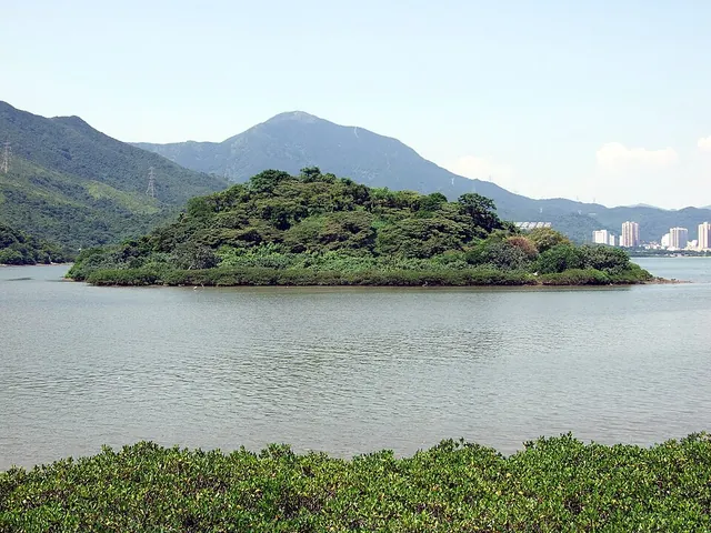 Islands and isletsA Chau鴉洲
- Approximate mapped area
- ≈ 0.01 km²
- Read the landscape
- Volcanic tuff
Photo · : Chong Fat · CC BY-SA 3.0
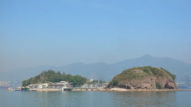 Islands and isletsAp Chau鴨洲
- Approximate mapped area
- ≈ 0.041 km²
- Read the landscape
- Sedimentary rocks
Photo: 惡德神父 · CC BY-SA 3.0
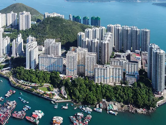 Islands and isletsAp Lei Chau鴨脷洲
- Read the landscape
- Volcanic tuff
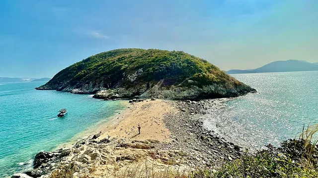 Islands and isletsAp Lei Pai鴨脷排
- Read the landscape
- Volcanic tuff
Photo · : Rolbox292638 · CC BY-SA 4.0
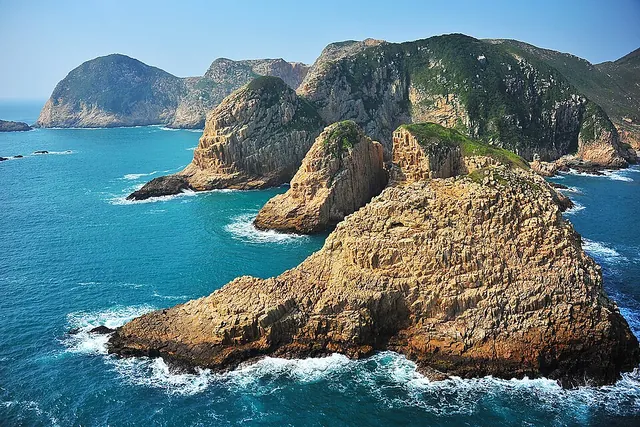 Islands and isletsBasalt Island火石洲
- Approximate mapped area
- ≈ 0.82 km²
- Read the landscape
- Volcanic tuff
Photo · : TK · CC BY-SA 4.0
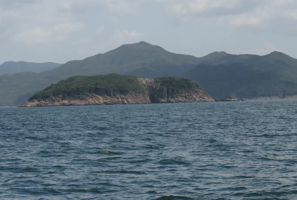
- Approximate mapped area
- ≈ 0.072 km²
- Read the landscape
- Volcanic tuff
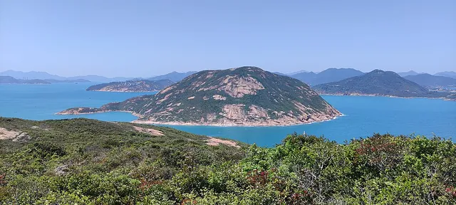 Islands and isletsBeaufort Island螺洲
- Approximate mapped area
- ≈ 1.2 km²
- Read the landscape
- Granite
Photo · : Nhk9 · CC BY-SA 4.0
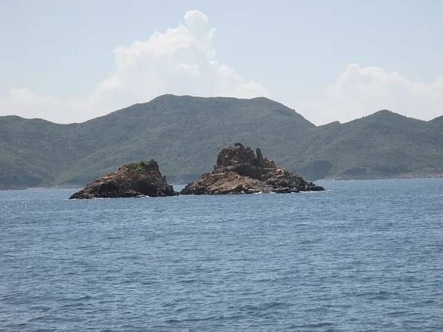 Islands and isletsBluff Island沙塘口山
- Approximate mapped area
- ≈ 0.69 km²
- Read the landscape
- Volcanic tuff
Photo · : Underwaterbuffalo · CC BY-SA 4.0
- Islands and isletsBun Bei Chau崩鼻洲
- Approximate mapped area
- ≈ 0.0024 km²
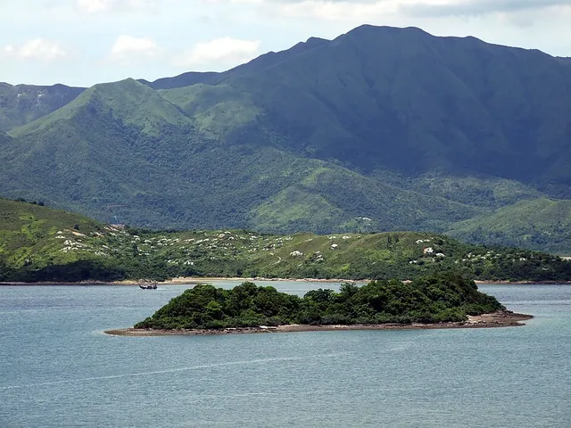 Islands and isletsCentre Island丫洲
- Approximate mapped area
- ≈ 0.035 km²
- Read the landscape
- Sedimentary rocks
Photo · : Chong Fat · CC BY-SA 3.0
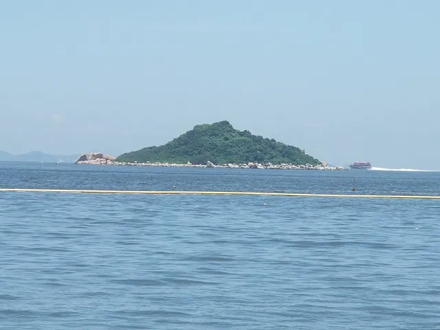 Islands and isletsCha Kwo Chau茶果洲
- Approximate mapped area
- ≈ 0.014 km²
- Read the landscape
- Quartz monzonite
Photo · : Minghong · CC BY-SA 4.0
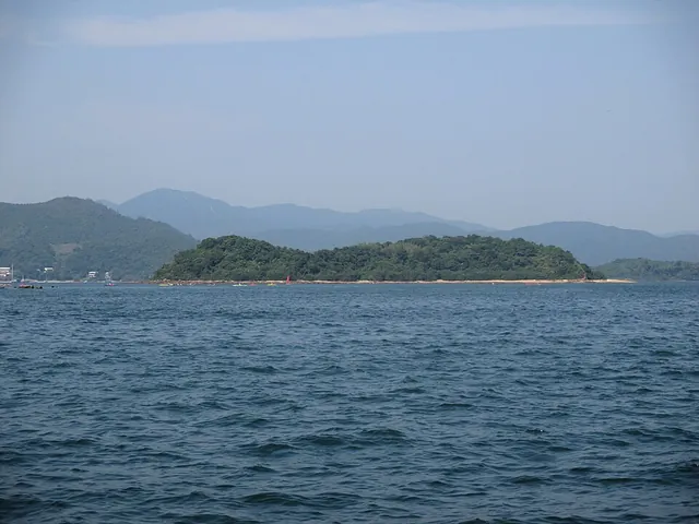 Islands and isletsCham Tau Chau枕頭洲
- Approximate mapped area
- ≈ 0.024 km²
- Read the landscape
- Sedimentary rocks
Photo · : Underwaterbuffalo · CC BY-SA 4.0
- Islands and isletsChap Mo Chau執毛洲
- Approximate mapped area
- ≈ 0.0006 km²
- Islands and isletsChau Tsai洲仔
- Approximate mapped area
- ≈ 0.0085 km²
- Read the landscape
- Volcanic tuff
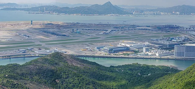 Islands and isletsChek Lap Kok赤鱲角
- Approximate mapped area
- ≈ 21 km²
- Read the landscape
- Granite
Photo · : Dinkun Chen · CC BY-SA 4.0
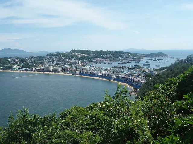 Islands and isletsCheung Chau長洲
- Approximate mapped area
- ≈ 2.5 km²
- Read the landscape
- Surface deposits
Photo · : Man77 · CC BY-SA 3.0
- Islands and isletsCheung Muk Tau樟木頭
- Approximate mapped area
- ≈ 0.046 km²
- Read the landscape
- Granite
- Islands and isletsCheung Shek Tsui長石咀
- Approximate mapped area
- ≈ 0.043 km²
- Read the landscape
- Volcanic lava
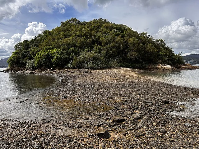 Islands and isletsCheung Sok長索
- Approximate mapped area
- ≈ 0.028 km²
- Read the landscape
- Intrusive dyke rocks
Photo · : Scotted400 · CC0
- Islands and isletsCheung Tsui Chau長咀洲
- Approximate mapped area
- ≈ 0.0031 km²
- Read the landscape
- Volcanic lava
- Islands and isletsChing Chau青洲
- Approximate mapped area
- ≈ 0.0076 km²
- Read the landscape
- Volcanic lava
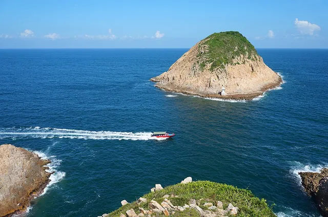 Islands and isletsConic Island飯甑洲
- Approximate mapped area
- ≈ 0.022 km²
- Read the landscape
- Volcanic tuff
Photo · : Minghong · CC BY-SA 4.0
- Islands and isletsCrescent Island娥眉洲
- Approximate mapped area
- ≈ 0.94 km²
- Read the landscape
- Mixed volcanic rocks
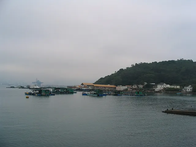 Islands and isletsCrooked Island吉澳
- Approximate mapped area
- ≈ 2.4 km²
- Read the landscape
- Mixed volcanic rocks
Photo · : Ngchikit · CC BY-SA 3.0
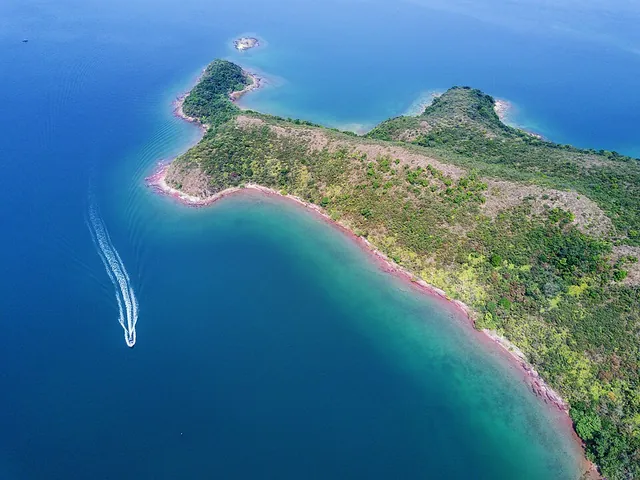 Islands and isletsDouble Island往灣洲
- Approximate mapped area
- ≈ 2.1 km²
- Read the landscape
- Volcanic tuff
Photo · : Eddie Yip · CC BY-SA 2.0
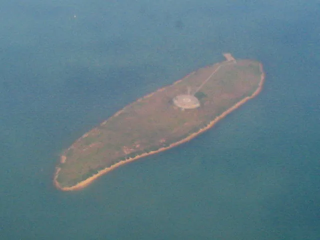 Islands and isletsEast Brother小磨刀
- Approximate mapped area
- ≈ 0.1 km²
- Read the landscape
- Metamorphosed sedimentary rocks
Photo · : Minghong · CC BY-SA 4.0
- Islands and isletsEast Ninepin Island東果洲
- Read the landscape
- Volcanic tuff
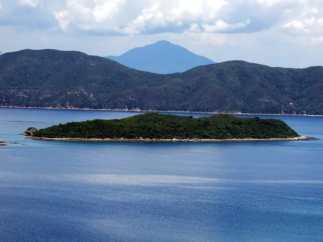 Islands and isletsFlat Island銀洲
- Approximate mapped area
- ≈ 0.048 km²
- Read the landscape
- Volcanic tuff
Photo · : Chong Fat · CC BY-SA 3.0
- Islands and isletsFu Wong Chau虎王洲
- Approximate mapped area
- ≈ 0.051 km²
- Islands and isletsFun Chau墳洲
- Approximate mapped area
- ≈ 0.033 km²
- Read the landscape
- Volcanic lava
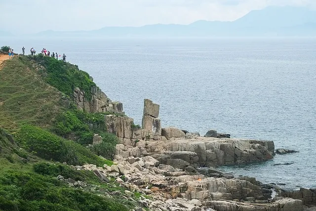 Islands and isletsGrass Island塔門
- Approximate mapped area
- ≈ 1.7 km²
- Read the landscape
- Volcanic tuff
Photo · : Windmemories · CC BY-SA 4.0
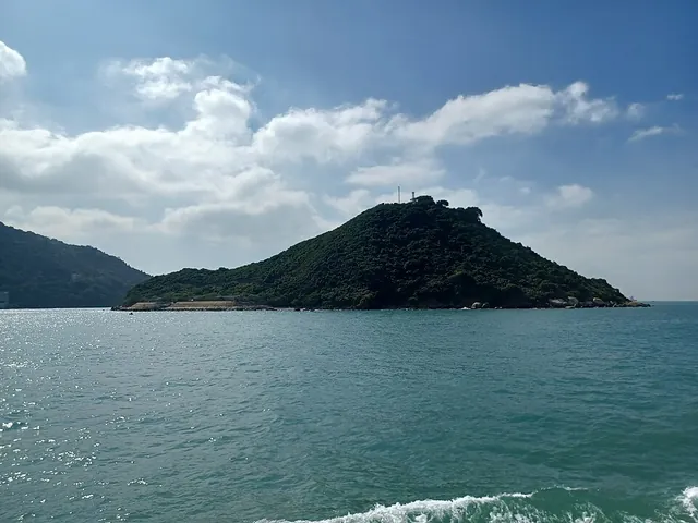 Islands and isletsGreen Island青洲
- Approximate mapped area
- ≈ 0.12 km²
- Read the landscape
- Volcanic tuff
Photo · : 姒姓賢寧 · CC BY-SA 4.0
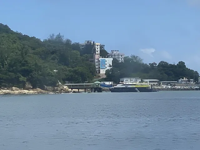 Islands and isletsHei Ling Chau喜靈洲
- Approximate mapped area
- ≈ 1.9 km²
- Read the landscape
- Intrusive dyke rocks
Photo · : LN9267 · CC BY-SA 4.0
- Islands and isletsHok Tsai Pai殼仔排
- Approximate mapped area
- ≈ 0.0078 km²
- Read the landscape
- Volcanic tuff
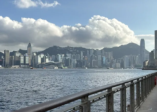 Islands and isletsHong Kong Island香港島
- Read the landscape
- Granite
Photo · : Kerry and the Large HK Sears · CC0
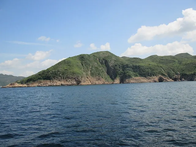 Islands and isletsJin Island吊鐘洲
- Approximate mapped area
- ≈ 1.8 km²
- Read the landscape
- Volcanic tuff
Photo · : Underwaterbuffalo · CC BY-SA 4.0
- Islands and isletsKai Chau雞洲
- Approximate mapped area
- ≈ 0.017 km²
- Read the landscape
- Volcanic tuff
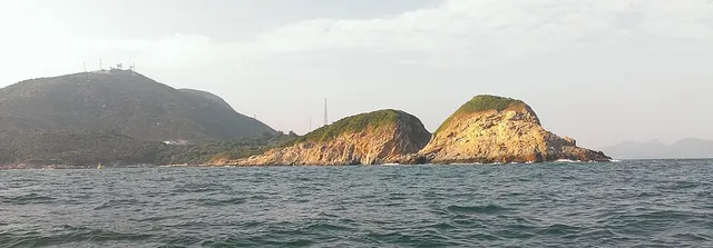 Islands and isletsKau Pei Chau狗髀洲
- Approximate mapped area
- ≈ 0.013 km²
Photo · : Geographer at English Wikipedia · CC BY-SA 3.0
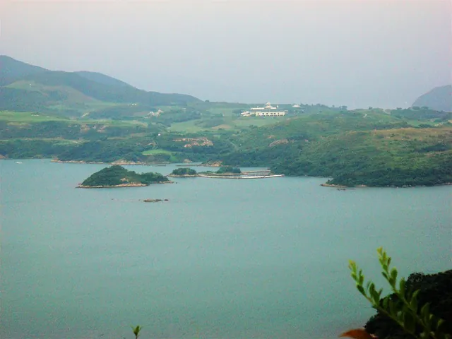 Islands and isletsKau Sai Chau滘西洲
- Read the landscape
- Volcanic tuff
Photo · : Underwaterbuffalo · CC BY-SA 4.0
 Islands and isletsKau Yi Chau交椅洲
- Approximate mapped area
- ≈ 0.23 km²
- Read the landscape
- Granite
Photo · : Nhk9 · CC BY-SA 4.0
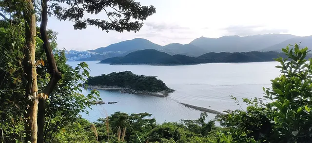 Islands and isletsKiu Tau橋頭
- Approximate mapped area
- ≈ 0.022 km²
Photo · : Nhk9 · CC BY-SA 4.0
- Islands and isletsKo Pai高排
- Approximate mapped area
- ≈ 0.0021 km²
- Read the landscape
- Granite
- Islands and isletsKong Tau Pai光頭排
- Approximate mapped area
- ≈ 0.0061 km²
- Read the landscape
- Volcanic tuff
- Islands and isletsKung Chau弓洲
- Approximate mapped area
- ≈ 0.011 km²
- Islands and isletsKwun Cham Wan罐杉環
- Approximate mapped area
- ≈ 0.051 km²
- Read the landscape
- Volcanic tuff
- Islands and isletsKwun Tsai觀仔
- Approximate mapped area
- ≈ 0.005 km²
- Read the landscape
- Volcanic lava
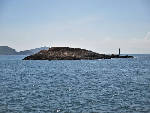 Islands and isletsLak Lei Tsai癩痢仔
- Approximate mapped area
- ≈ 0.0016 km²
- Read the landscape
- Volcanic tuff
Photo · : Underwaterbuffalo · CC BY-SA 4.0
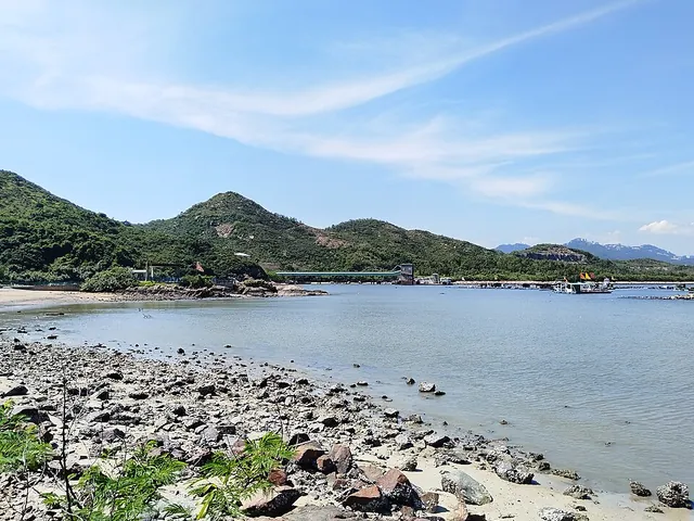 Islands and isletsLamma Island南丫島
- Approximate mapped area
- ≈ 14 km²
- Read the landscape
- Granite
Photo · : Jonashtand · CC BY-SA 4.0
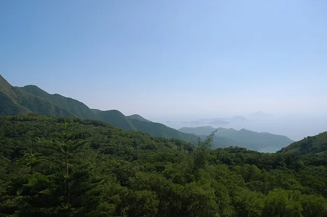 Islands and isletsLantau Island大嶼山
- Approximate mapped area
- ≈ 150 km²
- Read the landscape
- Mixed volcanic rocks
Photo · : Rob Young from United Kingdom · CC BY 2.0
- Islands and isletsLap Sap Chau垃圾洲
- Approximate mapped area
- ≈ 0.0026 km²
- Read the landscape
- Sedimentary rocks
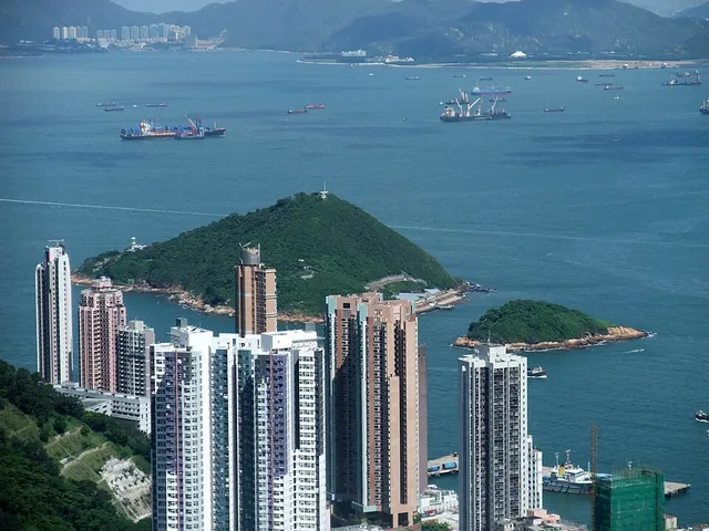 Islands and isletsLittle Green Island小青洲
- Approximate mapped area
- ≈ 0.016 km²
- Read the landscape
- Granite
Photo · : Minghong · CC BY-SA 4.0
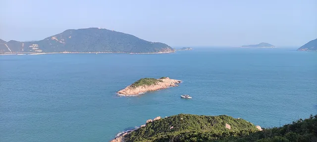 Islands and isletsLo Chau羅洲
- Approximate mapped area
- ≈ 0.012 km²
- Read the landscape
- Granite
Photo · : Nhk9 · CC BY-SA 4.0
- Islands and isletsLo Chau Pak Pai螺洲白排
- Approximate mapped area
- ≈ 0.0036 km²
- Read the landscape
- Granite
- Islands and isletsLo Chi Pai鸕鷀排
- Approximate mapped area
- ≈ 0.0054 km²
- Read the landscape
- Volcanic lava
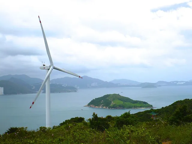 Islands and isletsLuk Chau鹿洲
- Approximate mapped area
- ≈ 0.082 km²
- Read the landscape
- Quartz monzonite
Photo · : Thomas Timlen from Singapore, Singapore · CC BY 2.0
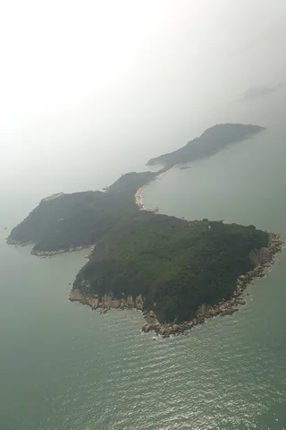 Islands and isletsLung Kwu Chau龍鼓洲
- Approximate mapped area
- ≈ 0.37 km²
- Read the landscape
- Granite
Photo · : User:Geographer · CC BY-SA 3.0
- Islands and isletsMa Chau孖洲
- Approximate mapped area
- ≈ 0.055 km²
- Read the landscape
- Granite
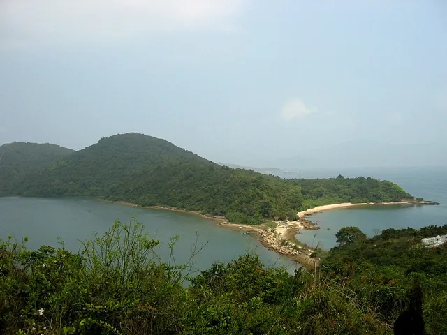 Islands and isletsMa Shi Chau馬屎洲
- Read the landscape
- Sedimentary rocks
 Islands and isletsMa Wan馬灣
- Approximate mapped area
- ≈ 0.97 km²
- Read the landscape
- Volcanic tuff
Photo · : User:Geographer · CC BY-SA 3.0
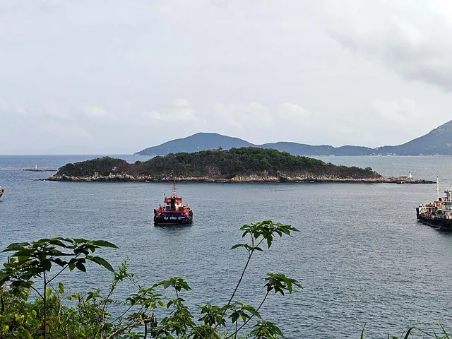 Islands and isletsMagazine Island火藥洲
- Approximate mapped area
- ≈ 0.016 km²
- Read the landscape
- Volcanic tuff
Photo · : Tombus20032000 · CC BY-SA 4.0
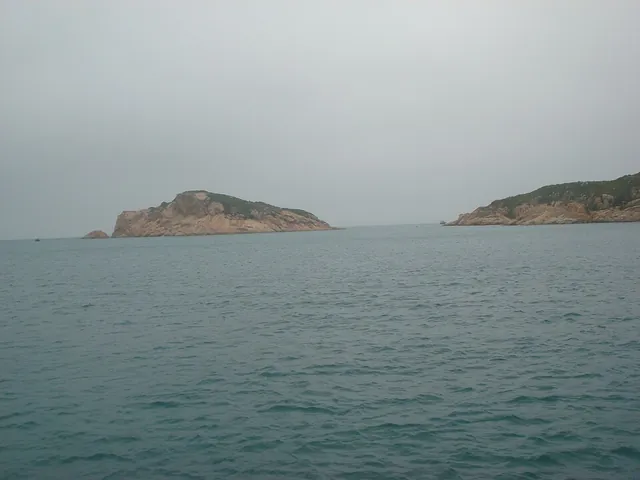 Islands and isletsMat Chau墨洲
- Approximate mapped area
- ≈ 0.028 km²
- Read the landscape
- Granite
Photo · : Millevache · CC BY-SA 3.0
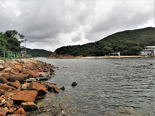 Islands and isletsMiddle Island熨波洲
- Approximate mapped area
- ≈ 0.23 km²
- Read the landscape
- Volcanic tuff
Photo · : Underwaterbuffalo · CC BY-SA 4.0
- Islands and isletsMo Chau磨洲
- Approximate mapped area
- ≈ 0.01 km²
- Read the landscape
- Volcanic tuff
- Islands and isletsMong Chau Tsai芒洲仔
- Approximate mapped area
- ≈ 0.0084 km²
- Read the landscape
- Volcanic tuff
- Islands and isletsNam Fung Chau南風洲
- Approximate mapped area
- ≈ 0.0054 km²
- Read the landscape
- Volcanic tuff
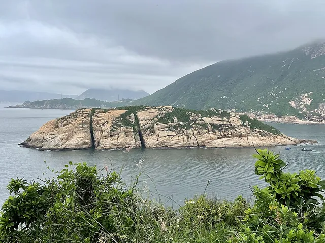 Islands and isletsNg Fan Chau五分洲
- Approximate mapped area
- ≈ 0.035 km²
- Read the landscape
- Granite
Photo · : Lord Jaraxxus · CC BY-SA 4.0
- Islands and isletsNga Ying Chau牙鷹洲
- Approximate mapped area
- ≈ 0.00043 km²
- Islands and isletsNga Ying Pai牙鷹排
- Approximate mapped area
- ≈ 0.002 km²
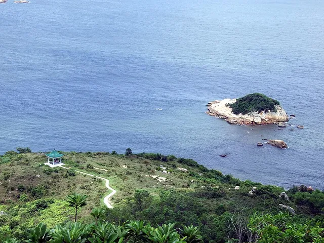 Islands and isletsNgan Chau銀洲
- Approximate mapped area
- ≈ 0.0027 km²
Photo · : Chong Fat · CC BY-SA 3.0
- Islands and isletsNgau Shi Pui牛屎缽
- Approximate mapped area
- ≈ 0.0025 km²
- Read the landscape
- Volcanic tuff
- Islands and isletsNgau Tau Pai牛頭排
- Approximate mapped area
- ≈ 0.0067 km²
- Read the landscape
- Volcanic lava
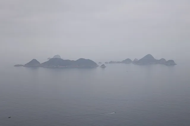 Islands and isletsNinepin Group果洲群島
Photo · : User:Geographer · CC BY-SA 3.0
- Islands and isletsNorth Ninepin Island北果洲
- Approximate mapped area
- ≈ 0.25 km²
- Read the landscape
- Volcanic tuff
- Islands and isletsPak Chau白洲
- Approximate mapped area
- ≈ 0.0032 km²
- Read the landscape
- Granite
- Islands and isletsPak Ka Chau筆架洲
- Approximate mapped area
- ≈ 0.0018 km²
- Read the landscape
- Volcanic tuff
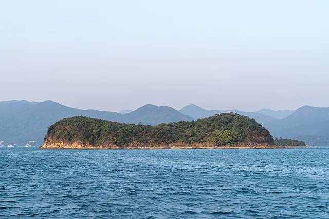 Islands and isletsPak Sha Chau白沙洲
- Approximate mapped area
- ≈ 0.036 km²
- Read the landscape
- Sedimentary rocks
Photo · : Alexkom000 · CC BY 4.0
- Islands and isletsPeaked Hill雞翼角
- Approximate mapped area
- ≈ 0.074 km²
- Read the landscape
- Granite
 Islands and isletsPearl Island龍珠島
- Read the landscape
- Granite
Photo · : 建園春秋 · CC BY-SA 4.0
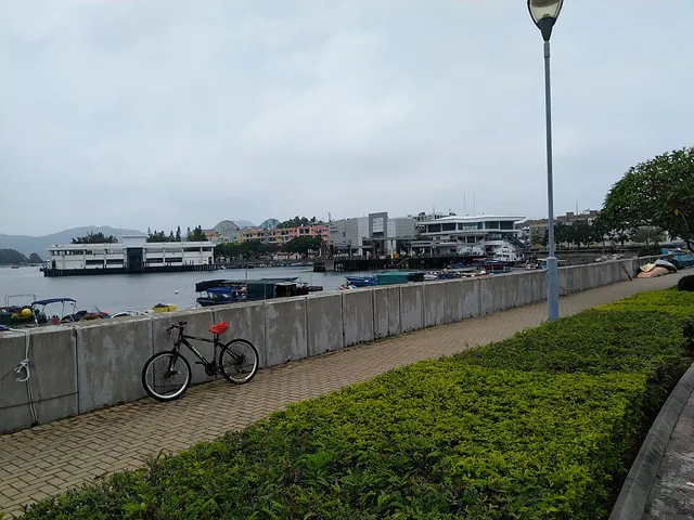 Islands and isletsPeng Chau坪洲
- Approximate mapped area
- ≈ 0.97 km²
Photo · : Kdm852 · CC BY-SA 4.0
- Islands and isletsPin Chau扁洲
- Approximate mapped area
- ≈ 0.011 km²
- Read the landscape
- Volcanic tuff
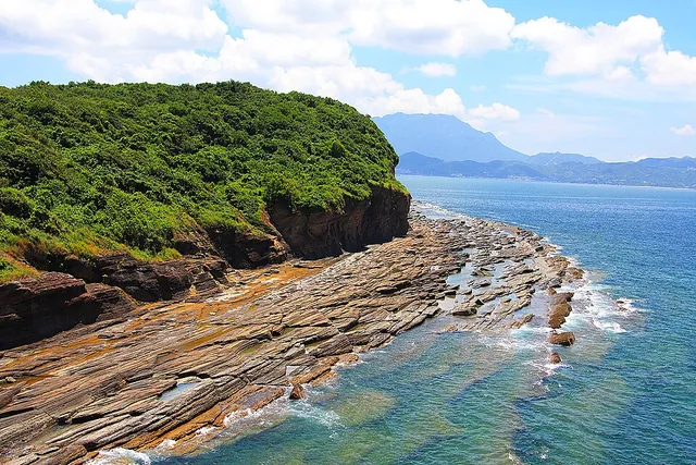 Islands and isletsPing Chau平洲
- Approximate mapped area
- ≈ 1.2 km²
- Read the landscape
- Sedimentary rocks
Photo · : TK · CC BY-SA 4.0
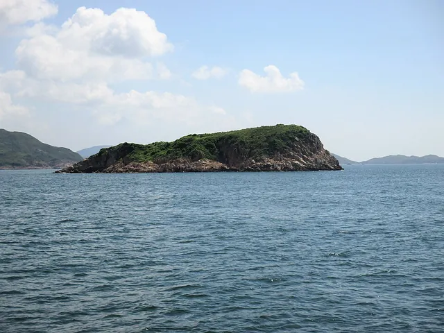 Islands and isletsPing Min Chau平面洲
- Approximate mapped area
- ≈ 0.012 km²
- Read the landscape
- Volcanic tuff
Photo · : Underwaterbuffalo · CC BY-SA 4.0
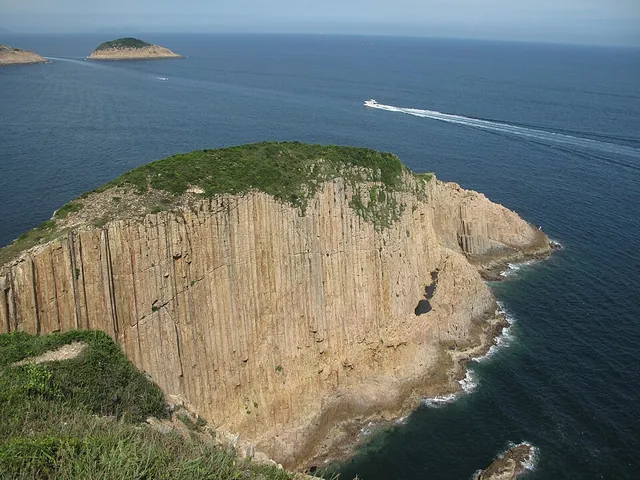 Islands and isletsPo Pin Chau破邊洲
- Approximate mapped area
- ≈ 0.018 km²
- Read the landscape
- Volcanic tuff
Photo · : Minghong · CC BY-SA 4.0
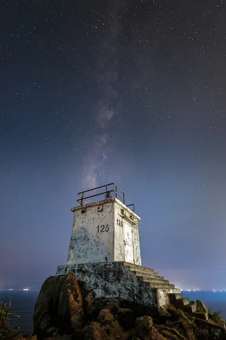 Islands and isletsPo Toi蒲台
- Approximate mapped area
- ≈ 3.7 km²
- Read the landscape
- Granite
Photo · : Eddie Yip from Groningen, the Netherlands · CC BY-SA 2.0
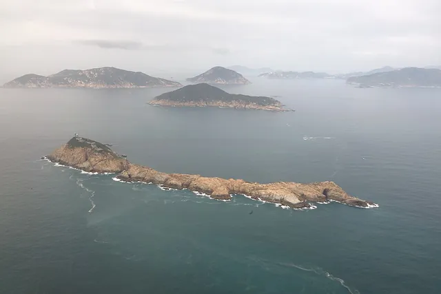 Islands and isletsPo Toi Islands蒲台群島
- Read the landscape
- Granite
Photo · : User:Geographer · CC BY-SA 3.0
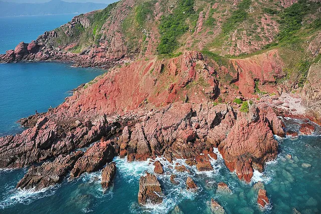 Islands and isletsPort Island赤洲
- Approximate mapped area
- ≈ 0.45 km²
- Read the landscape
- Sedimentary rocks
Photo · : TK · CC BY-SA 4.0
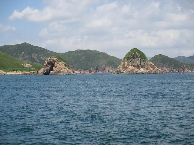 Islands and isletsPyramid Rock尖柱石
- Approximate mapped area
- ≈ 0.0064 km²
- Read the landscape
- Volcanic tuff
Photo · : Underwaterbuffalo · CC BY-SA 4.0
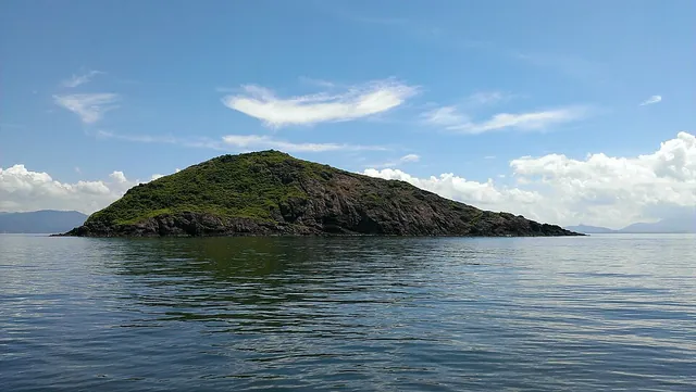 Islands and isletsRound Island白沙洲
- Approximate mapped area
- ≈ 0.044 km²
- Read the landscape
- Sedimentary rocks
Photo · : Geographer at English Wikipedia · CC BY-SA 3.0
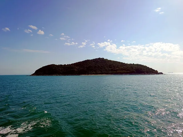 Islands and isletsRound Island銀洲
- Approximate mapped area
- ≈ 0.13 km²
- Read the landscape
- Granodiorite
Photo · : Ceeseven · CC BY-SA 4.0
- Islands and isletsSai Ap Chau細鴨洲
- Approximate mapped area
- ≈ 0.0094 km²
- Read the landscape
- Sedimentary rocks
- Islands and isletsSai Chau Mei細洲尾
- Approximate mapped area
- ≈ 0.0046 km²
- Islands and isletsSam Pai三排
- Approximate mapped area
- ≈ 0.001 km²
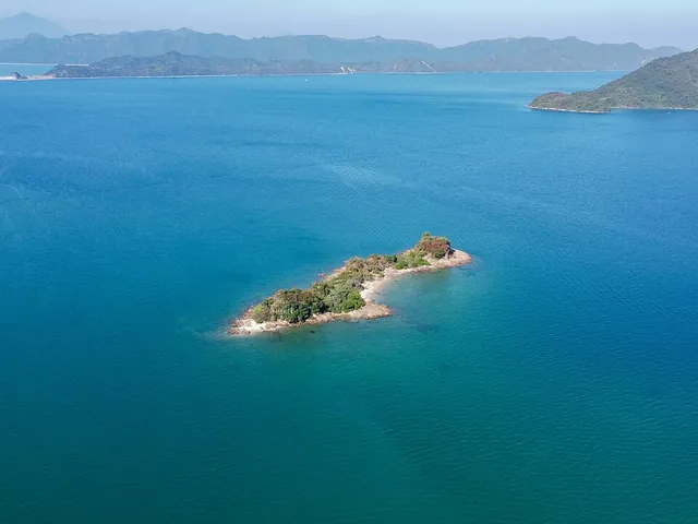 Islands and isletsSam Pui Chau三杯酒
- Approximate mapped area
- ≈ 0.0023 km²
- Read the landscape
- Sedimentary rocks
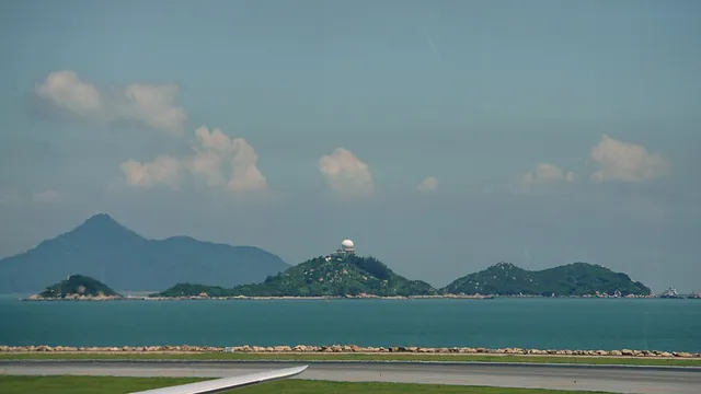 Islands and isletsSha Chau沙洲
- Approximate mapped area
- ≈ 0.082 km²
- Read the landscape
- Granite
Photo · : Mk2010 · CC BY-SA 4.0
- Islands and isletsShan Leng Kok山嶺角
- Approximate mapped area
- ≈ 0.0018 km²
- Read the landscape
- Volcanic tuff
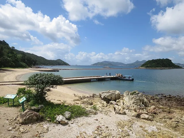 Islands and isletsSharp Island橋咀洲
- Approximate mapped area
- ≈ 1 km²
- Read the landscape
- Volcanic lava
Photo · : User:Geographer · CC BY-SA 3.0
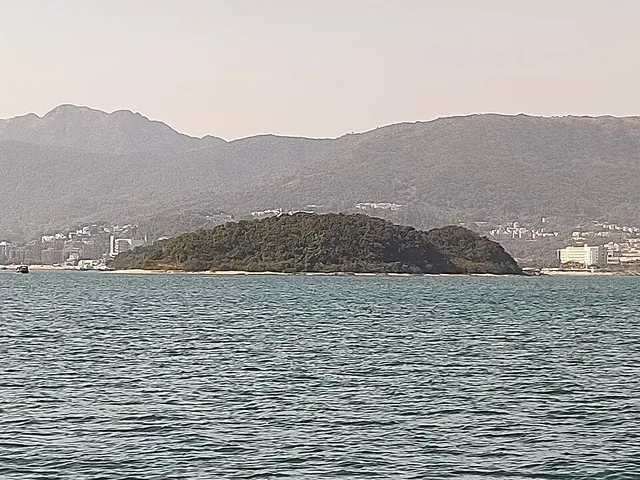 Islands and isletsShek Chau石洲
- Approximate mapped area
- ≈ 0.0012 km²
- Read the landscape
- Sedimentary rocks
Photo · : Deryck Chan · CC BY-SA 4.0
- Islands and isletsShek Chau石洲
- Approximate mapped area
- ≈ 0.0039 km²
- Read the landscape
- Granite
- Islands and isletsShek Kwu Chau石鼓洲
- Approximate mapped area
- ≈ 1.2 km²
- Read the landscape
- Granite
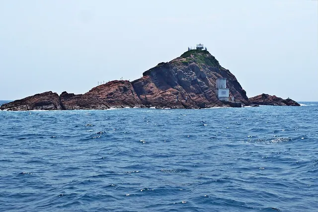 Islands and isletsShek Ngau Chau石牛洲
- Approximate mapped area
- ≈ 0.0068 km²
Photo · : 山民主義 · CC BY-SA 4.0
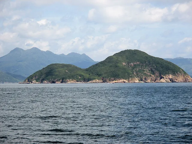 Islands and isletsShelter Island牛尾洲
- Approximate mapped area
- ≈ 0.57 km²
- Read the landscape
- Volcanic lava
Photo · : Underwaterbuffalo · CC BY-SA 4.0
- Islands and isletsShue Long Chau薯莨洲
- Approximate mapped area
- ≈ 0.0069 km²
- Read the landscape
- Volcanic tuff
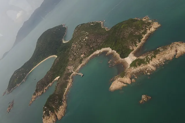 Islands and isletsSiu A Chau小鴉洲
- Approximate mapped area
- ≈ 0.71 km²
- Read the landscape
- Granite
Photo · : User:Geographer · CC BY-SA 3.0
 Islands and isletsSiu Kau Yi Chau小交椅洲
- Approximate mapped area
- ≈ 0.047 km²
- Read the landscape
- Intrusive dyke rocks
Photo · : Tombus20032000 · CC BY-SA 4.0
- Islands and isletsSiu Nim Chau小稔洲
- Approximate mapped area
- ≈ 0.0041 km²
- Read the landscape
- Volcanic lava
- Islands and isletsSiu Tsan Chau小鏟洲
- Approximate mapped area
- ≈ 0.0038 km²
- Islands and isletsSoko Islands索罟群島
- Islands and isletsSouth Ninepin Island南果洲
- Read the landscape
- Volcanic tuff
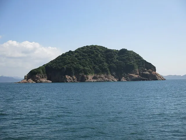 Islands and isletsSteep Island青洲
- Approximate mapped area
- ≈ 0.1 km²
- Read the landscape
- Volcanic tuff
Photo · : Underwaterbuffalo · CC BY-SA 4.0
- Islands and isletsSung Kong宋崗
- Approximate mapped area
- ≈ 0.48 km²
- Read the landscape
- Granite
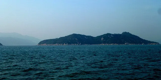 Islands and isletsSunshine Island周公島
- Approximate mapped area
- ≈ 0.54 km²
- Read the landscape
- Intrusive dyke rocks
Photo: Hiroki Ogawa · CC BY 3.0
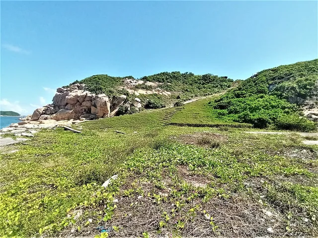 Islands and isletsTai A Chau大鴉洲
- Approximate mapped area
- ≈ 1.2 km²
- Read the landscape
- Intrusive dyke rocks
Photo · : Underwaterbuffalo · CC BY-SA 4.0
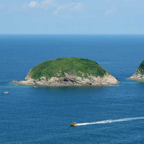 Islands and isletsTai Chau大洲
- Approximate mapped area
- ≈ 0.022 km²
- Read the landscape
- Volcanic lava
Photo · : Wpcpey · CC BY-SA 4.0
- Islands and isletsTai Chau大洲
- Approximate mapped area
- ≈ 0.0056 km²
- Read the landscape
- Volcanic tuff
- Islands and isletsTai Chau大洲
- Read the landscape
- Volcanic tuff
- Islands and isletsTai Chau Mei大洲尾
- Approximate mapped area
- ≈ 0.031 km²
- Read the landscape
- Volcanic tuff
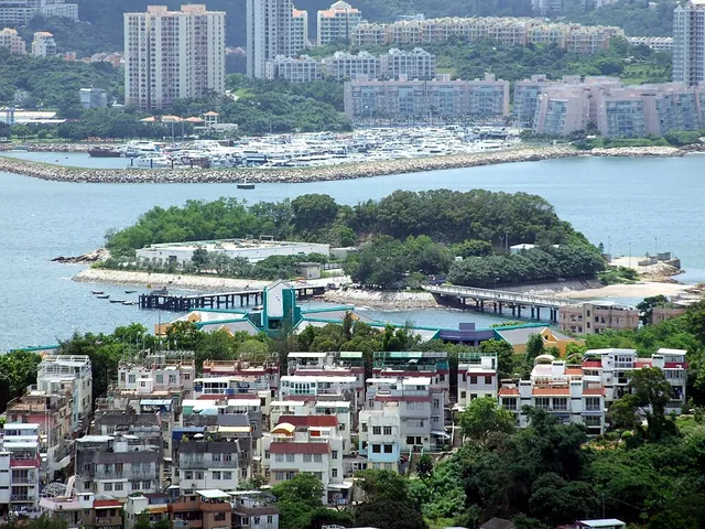 Islands and isletsTai Lei大利
- Approximate mapped area
- ≈ 0.026 km²
- Read the landscape
- Intrusive dyke rocks
Photo · : Chong Fat · CC BY-SA 3.0
- Islands and isletsTai Nim Chau大稔洲
- Approximate mapped area
- ≈ 0.0066 km²
- Read the landscape
- Volcanic lava
- Islands and isletsTai Pai大排
- Approximate mapped area
- ≈ 0.0058 km²
- Read the landscape
- Volcanic tuff
- Islands and isletsTai Tau Chau大頭洲
- Approximate mapped area
- ≈ 0.53 km²
- Read the landscape
- Volcanic tuff
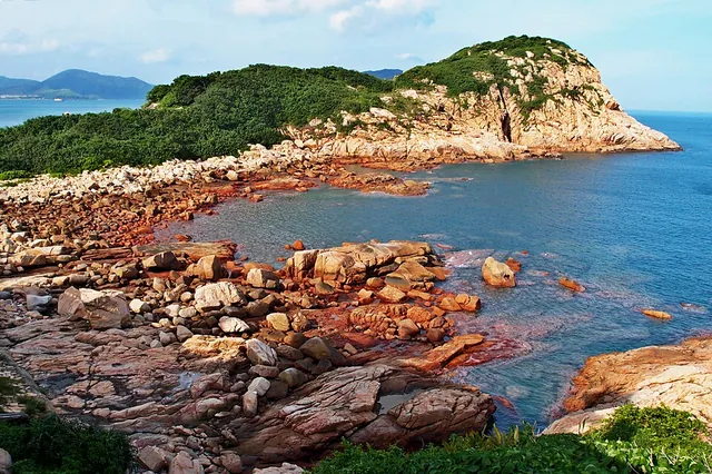 Islands and isletsTai Tau Chau大頭洲
- Read the landscape
- Granite
Photo · : 山民主義 · CC BY-SA 4.0
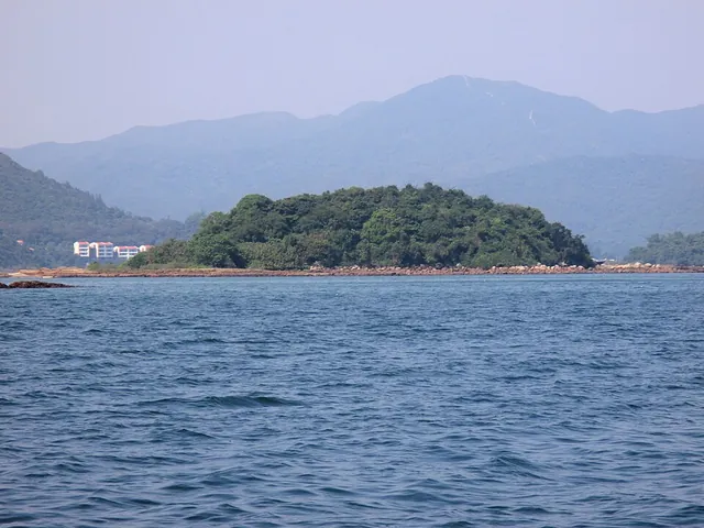 Islands and isletsTai Tsan Chau大鏟洲
- Approximate mapped area
- ≈ 0.01 km²
- Read the landscape
- Sedimentary rocks
Photo · : Underwaterbuffalo · CC BY-SA 4.0
- Islands and isletsTang Chau燈洲
- Approximate mapped area
- ≈ 0.0023 km²
- Read the landscape
- Sedimentary rocks
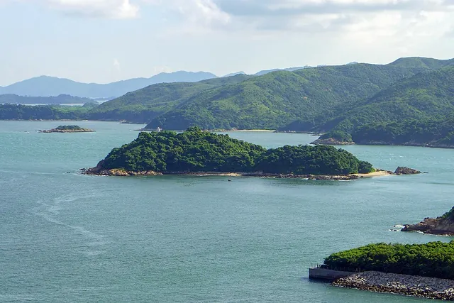 Islands and isletsTang Lung Chau燈籠洲
- Approximate mapped area
- ≈ 0.032 km²
- Read the landscape
- Granite
Photo · : Wpcpey · CC BY-SA 4.0
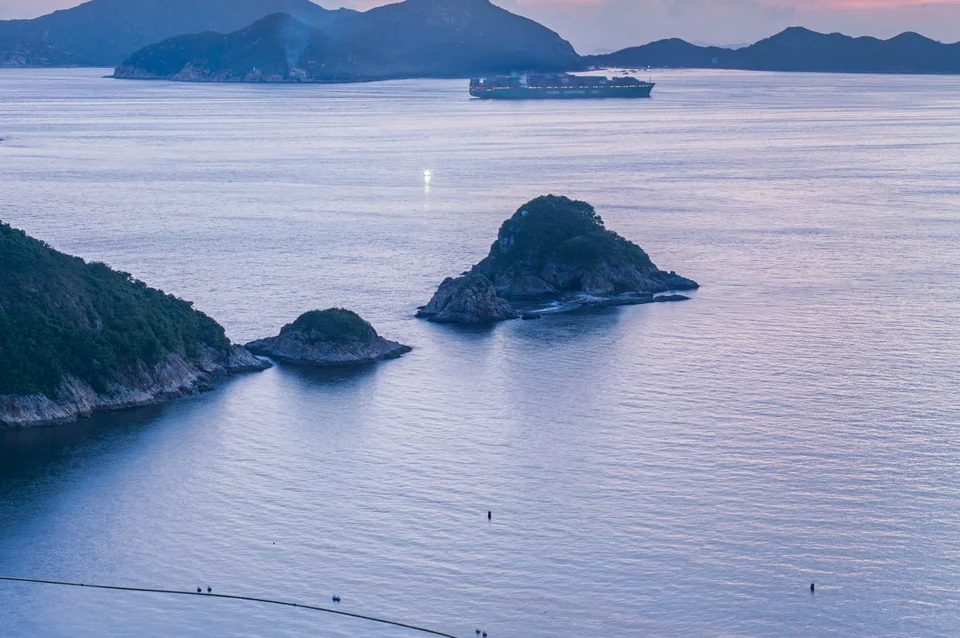
- Approximate mapped area
- ≈ 0.0069 km²
- Read the landscape
- Volcanic tuff
Photo · : DAVID ILIFF · CC BY-SA 4.0
- Islands and isletsTau Lo Chau頭顱洲
- Approximate mapped area
- ≈ 0.038 km²
- Read the landscape
- Granite
- Islands and isletsThe Brothers大小磨刀
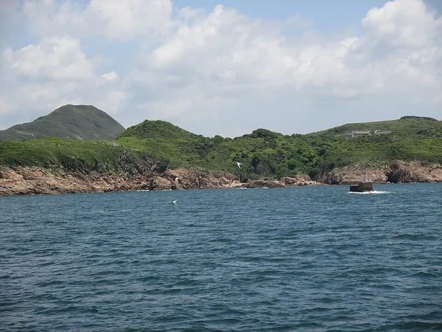 Islands and isletsTown Island伙頭墳洲
- Approximate mapped area
- ≈ 0.62 km²
- Read the landscape
- Volcanic tuff
Photo · : Underwaterbuffalo · CC BY-SA 4.0
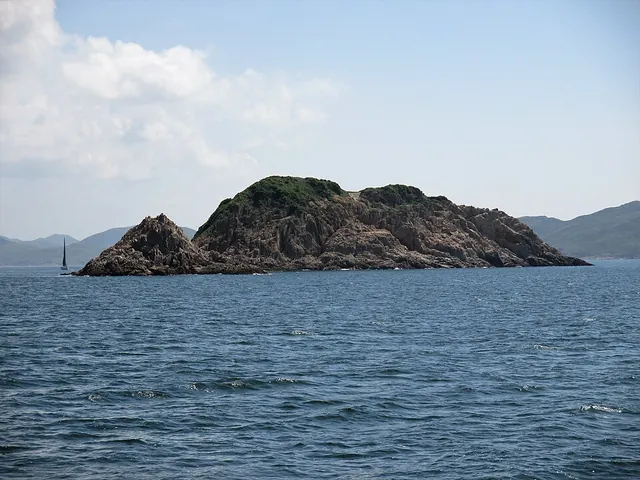 Islands and isletsTrio Island大癩痢
- Approximate mapped area
- ≈ 0.019 km²
- Read the landscape
- Volcanic tuff
Photo · : Underwaterbuffalo · CC BY-SA 4.0
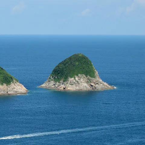 Islands and isletsTsim Chau尖洲
- Approximate mapped area
- ≈ 0.013 km²
- Read the landscape
- Volcanic lava
Photo · : Wpcpey · CC BY-SA 4.0
- Islands and isletsTsing Chau青洲
- Approximate mapped area
- ≈ 0.0063 km²
- Read the landscape
- Volcanic lava
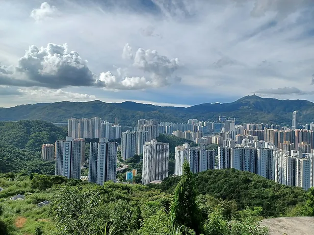 Islands and isletsTsing Yi青衣
- Approximate mapped area
- ≈ 11 km²
- Read the landscape
- Volcanic tuff
Photo · : 姒姓賢寧 · CC BY-SA 4.0
- Islands and isletsTsz Kan Chau匙羹洲
- Approximate mapped area
- ≈ 0.0026 km²
- Islands and isletsTuen Chau Tsai短洲仔
- Read the landscape
- Volcanic tuff
- Islands and isletsTuen Tau Chau斷頭洲
- Approximate mapped area
- ≈ 0.02 km²
- Read the landscape
- Volcanic lava
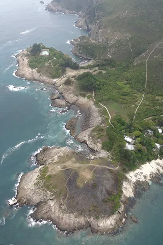 Islands and isletsTung Lung Chau東龍洲
- Approximate mapped area
- ≈ 2.4 km²
- Read the landscape
- Volcanic tuff
Photo · : User:Geographer · CC BY-SA 3.0
- Islands and isletsTung Sam Chau棟心洲
- Approximate mapped area
- ≈ 0.01 km²
- Read the landscape
- Volcanic tuff
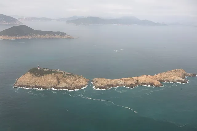 Islands and isletsWaglan Island橫瀾島
- Approximate mapped area
- ≈ 0.053 km²
- Read the landscape
- Granite
Photo · : User:Geographer · CC BY-SA 3.0
- Islands and isletsWan Hau Chau灣口洲
- Approximate mapped area
- ≈ 0.004 km²
- Read the landscape
- Granite
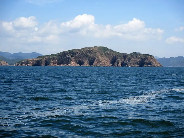 Islands and isletsWang Chau橫洲
- Approximate mapped area
- ≈ 0.2 km²
- Read the landscape
- Volcanic tuff
Photo · : Underwaterbuffalo · CC BY-SA 4.0
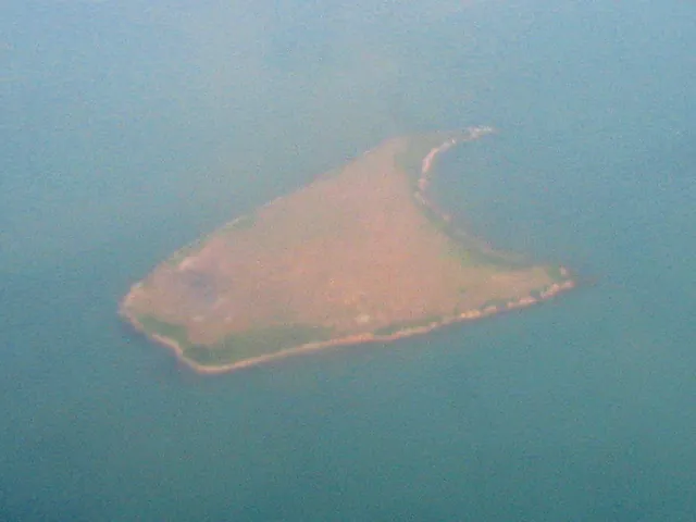 Islands and isletsWest Brother大磨刀
- Approximate mapped area
- ≈ 0.12 km²
- Read the landscape
- Metamorphosed sedimentary rocks
Photo · : Minghong · CC BY-SA 4.0
- Islands and isletsWo Sheung Chau和尚洲
- Approximate mapped area
- ≈ 0.0052 km²
- Read the landscape
- Volcanic tuff
- Islands and isletsWong Mau Chau黃茅洲
- Approximate mapped area
- ≈ 0.0081 km²
- Read the landscape
- Volcanic tuff
- Islands and isletsWong Nai Chau黃泥洲
- Approximate mapped area
- ≈ 0.00097 km²
- Islands and isletsWong Nai Chau黃泥洲
- Approximate mapped area
- ≈ 0.0025 km²
- Read the landscape
- Mixed volcanic rocks
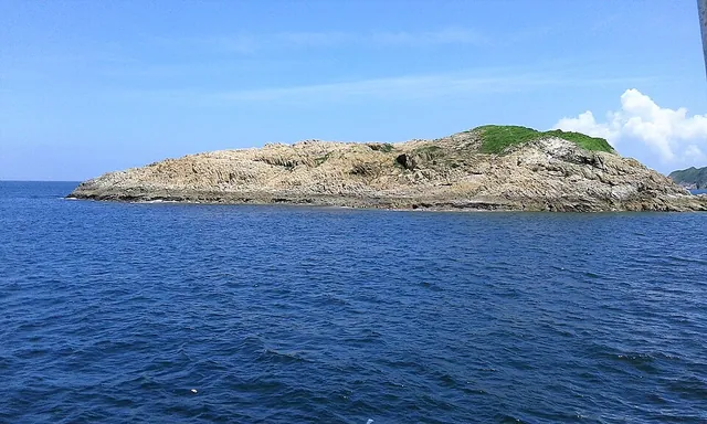 Islands and isletsWong Nai Chau黃泥洲
- Approximate mapped area
- ≈ 0.017 km²
- Read the landscape
- Volcanic tuff
Photo · : Underwaterbuffalo · CC BY-SA 4.0
- Islands and isletsWong Nai Chau Tsai黃泥洲仔
- Approximate mapped area
- ≈ 0.0047 km²
- Read the landscape
- Sedimentary rocks
- Islands and isletsWong Yi Chau黃宜洲
- Approximate mapped area
- ≈ 0.093 km²
- Read the landscape
- Volcanic lava
- Islands and isletsWu Chau烏洲
- Approximate mapped area
- ≈ 0.0072 km²
- Read the landscape
- Sedimentary rocks
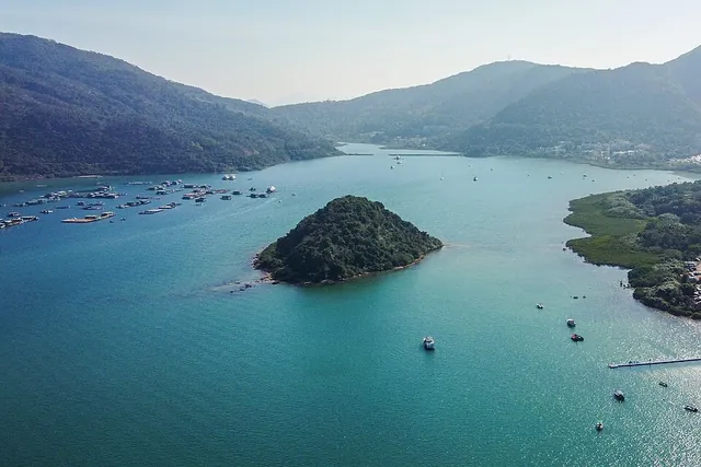 Islands and isletsWu Chau烏洲
- Approximate mapped area
- ≈ 0.02 km²
- Read the landscape
- Sedimentary rocks
- Islands and isletsYan Chau印洲
- Approximate mapped area
- ≈ 0.0013 km²
- Islands and isletsYau Lung Kok游龍角
- Approximate mapped area
- ≈ 0.015 km²
- Read the landscape
- Volcanic lava
- Islands and isletsYeung Chau洋洲
- Approximate mapped area
- ≈ 0.16 km²
- Read the landscape
- Mixed volcanic rocks
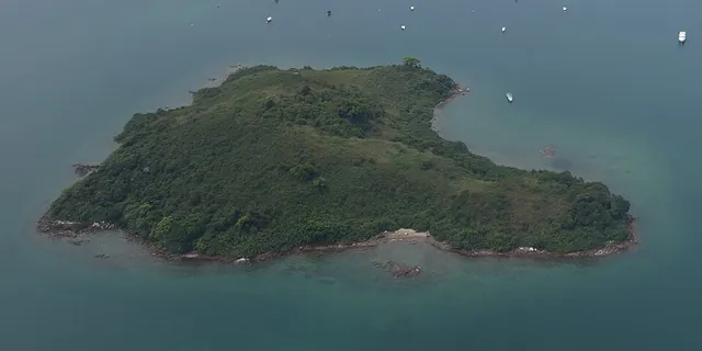 Islands and isletsYeung Chau洋洲
- Approximate mapped area
- ≈ 0.059 km²
- Read the landscape
- Granodiorite
Photo · : User:Geographer · CC BY-SA 3.0
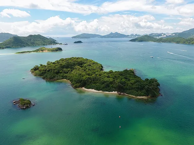 Islands and isletsYeung Chau羊洲
- Approximate mapped area
- ≈ 0.065 km²
- Read the landscape
- Volcanic tuff
Photo · : Wpcpey · CC BY-SA 4.0
- Islands and isletsYi Pai二排
- Approximate mapped area
- ≈ 0.0042 km²
- Read the landscape
- Volcanic tuff
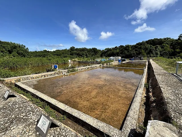 Islands and isletsYim Tin Tsai鹽田仔
- Read the landscape
- Volcanic tuff
Photo · : Arutoria · CC BY-SA 4.0
- Islands and isletsYuen Chau圓洲
- Approximate mapped area
- ≈ 0.029 km²
- Read the landscape
- Granite
- Islands and isletsYuen Kong Chau圓崗洲
- Approximate mapped area
- ≈ 0.006 km²
- Read the landscape
- Volcanic tuff
- Islands and isletsYuen Kong Chau圓崗洲
- Approximate mapped area
- ≈ 0.014 km²
- Read the landscape
- Granite
Sources & data
Official published locations. This snapshot does not confirm current opening, access or service availability.
Coverage follows the listed official datasets; this is not a complete directory of every business or service.
Commercial venues are not yet included in this directory.
Data snapshot · 2026-10-14
Sources & data